Castle Rock Trail – Big Bear Lake, CA | Where’s the Castle Rock?! (A Long Way From Missouri)

I’m a Missouri guy. My trails have names like “Lost Valley” and “Berryman.” They are not in California. They are not 6,800 feet above sea level. They do not overlook a lake that someone is trying to turn into a marina.

And yet — here we are. Big Bear Lake, California. Castle Rock Trail. 3.14 miles, +773 ft of gain, and more boulders to scramble up than I had any business scrambling up.

I was out here for vacation, and to visit some very special birds — Jackie and Shadow, a pair of bald eagles nesting above Big Bear Lake whose home is threatened by a proposed development that would turn the land you see across the water into a marina. If that matters to you (it should), check out savemooncamp.org and see what you can do.

The hike itself? Uphill. A lot of uphill. And rocks. I climbed a few outcroppings, got some absolutely insane views of the lake and the San Bernardino mountains, made friends with a Steller’s Jay and a chipmunk who had zero fear of humans, and spent a solid portion of the hike wondering — did I ever actually see Castle Rock? Honestly? I have no idea. But the views were worth it either way.

📍 Castle Rock Trail — Big Bear Lake, California

📏 Distance: 3.14 miles

⏱️ Duration: 3:08:32

📈 Elevation Gain: +773 ft

🏔️ Elevation: 6,842 ft

🦅 Support Jackie & Shadow — Stop the Moon Camp Marina Development: 👉 https://savemooncamp.org

— Health matters. The more you keep moving, the longer you can keep moving.

— 🛒 BOBBY KEARAN HIKES STORE Support the channel with stickers and shirts and other stuff: 👉 https://shop.bobbykearan.com/hhgh/

Save and grow your money for those Thru Hikes you are planning with Acorns: https://acorns.com/share/?shareable_code=GCYFNCF&first_name=Bobby&friend_reward=5

— 🎵 MUSIC Intro & outro music written by me and performed by AI, because I can’t sing. You are welcome.

Full tracks available on Bandcamp: 👉 https://bobbykearanhikes.bandcamp.com

— #BigBearLake #CastleRockTrail #CaliforniaHiking #SaveMoonCamp #JackieAndShadow #BaldEagles #MoonCamp #BobbyKearanHikes #HikeHangGetHigh #MissouriHiker #SanBernardinoMountains #TrailLife #GetOutside #HikingCalifornia #BoulderScramble
Similar Posts

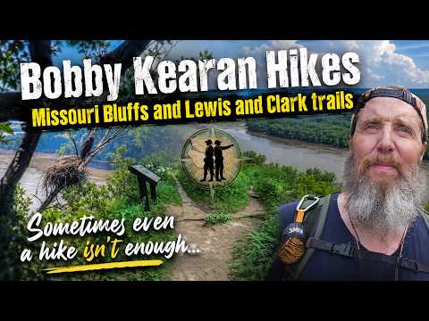
  • Missouri Bluffs & Lewis and Clark Trail — Eagles, Egrets, Lost Mic, and an Uncooperative Day.

    Some days the trail gives you everything. Some days it gives you an air show traffic jam, a dead GPS, a missing hiking stick, and a lapel mic that decided to bail. This was one of those days. And somehow, it still delivered. 📍 Missouri Bluffs Trail — Weldon Spring, MO 📍 Lewis and Clark…

  • Don Robinson State Park: LaBarque Hills Trail (2.84 mi) — Storm Rolls In, Cave Saves the Day

    Don Robinson State Park never seemed like a “storm hiding spot” kind of park — until today. LaBarque Hills Trail started hot and sunny, took me on a little wild goose chase toward a waterfall that wasn’t really feeling it today, and then about halfway through, the thunder started rolling in. I was seriously considering setting up a tarp when the first drops hit… and then found a natural rock shelter just big enough to duck into and ride the storm out completely dry.

    Also learned something about myself out there: I do not mess with sand sticking to my skin. Zero tolerance. Straight home to shower.

    📍 Trail: LaBarque Hills Trail, Don Robinson State Park
    📏 Distance: 2.84 miles
    ⛰️ Elevation Gain: +387 ft
    ⏱️ Duration: 2:38:02

    Hike, Hang, Get High.

    🛍️ Check out the HHGH store: https://shop.bobbykearan.com/hhgh/
    💰 Start investing spare change with Acorns (we both get $5): https://acorns.com/share/?shareable_code=GCYFNCF&first_name=Bobby&friend_reward=5

    🎵 Music written by me, performed by AI because I can’t sing — more at https://bobbykearanhikes.bandcamp.com

    #DonRobinsonStatePark #LaBarqueHillsTrail #MissouriHiking #HikingVlog #TrailShelter

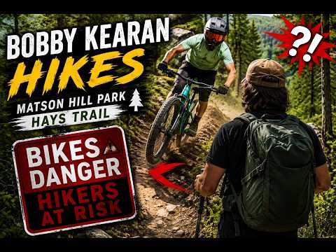
  • Matson Hill Park | Hays Homestead, Deer, & Dodging Mountain Bikes | Bobby Kearan Hikes

    Hiking Matson Hill Park in Saint Charles County, Missouri — one of the more scenic parks in the area, with some surprises along the way. I spotted deer, a rabbit, and the really cool old Hays Homestead ruins. I also got buzzed by speeding mountain bikers three times on what I thought was a shared…

  • Little Lost Creek Conservation Area | Creek Crossings, & a Steep Loop | Missouri Hiking

    This one’s got a little bit of everything. Little Lost Creek Conservation
    Area, out of the North Hwy B Trailhead, packs flat road walking, meadow
    trail, deep woods, rocky hills, and a creek bed all into one loop.

    Started out of the parking lot on an old dirt road still in use today.
    About .35 miles in, the route splits off onto a horse trail that skirts
    around some private property before reconnecting with the old road. From
    there it drops into the loop portion — old road gives way to a wide grass
    path along the ridge. About 2.12 miles in, a little ways down the first
    big, steep, rocky downhill, there’s a genuinely great view out over the
    surrounding wooded hills. From there it’s the rest of the way down to the
    creek, crossed twice, then a big, steep climb back up the other side. That
    second hill had my full attention — didn’t get much chance to look around
    — but it earned a lunch break at the top before leveling out into a
    beautiful field road lined with cedar and oak, all the way back to the
    loop junction and out to the parking lot.

    📍 Trail Info:
    – Trail: Little Lost Creek Conservation Area Loop
    – Trailhead: North Hwy B Trailhead
    – Distance: 5.47 miles
    – Time: 3 hours 55 minutes
    – Elevation Gain: +417 ft
    – Difficulty: Moderate to Challenging (Hilly)
    – Highlights: Ridgeline overlook (~2.12 mi), double creek crossing,
    steep climb out, cedar and oak field road, mix of terrain types

    ⏱️ Chapters:
    0:00 Trailhead – North Hwy B Parking Lot
    0:14 Horse Trail Split (~0.35 mi)
    1:13:52 Ridgeline Overlook (~2.12 mi)
    1:57:43 First Creek Crossing
    2:00:27 Second Creek Crossing
    2:02:56 Steep Climb Begins
    2:20:25 Ridge Field Road – Cedar & Oak
    2:25:00 Lunch Break
    3:14:00 Back on the Trail
    3:25:29 Back Near Loop Junction
    3:54:44 Trailhead – Loop Complete

    🗺️ Stick around to the end for a first look at our new Trail Player 3D —
    a 3D fly-through of the route with color-coded difficulty along the way.
    Still rolling this out, and this trail’s a great one to show it off on.

    🥾 Bobby Kearan Hikes — Hike, Hang, Get High. Missouri trails, the Ozarks,
    and Mark Twain National Forest. Subscribe for more Missouri hiking content!

    🛒 Check out the store: https://shop.bobbykearan.com/hhgh/
    💰 Get $5 free with Acorns: acorns.com/share/?shareable_code=GCYFNCF&first_name=Bobby&friend_reward=5

    🎵 Music written by me, performed by AI because I can’t sing. You are welcome.
    https://bobbykearanhikes.bandcamp.com

    #MissouriHiking #LittleLostCreek #HikeHangGetHigh #MDCConservationArea #Ozarks

Leave a Reply

Your email address will not be published. Required fields are marked *